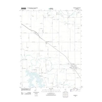
2012 Map of Edinburg
USGS Topo · Published 2012About this map
Edinburg and its surrounding Christian County landscape are defined by the winding course of the S Fork Sangamon River and the artificial waters of Sangchris Lake. This 2012 survey illustrates a region where agriculture and resource extraction coexist, notably at the Berry Oil Field and the Edinburg West Oil Field. The village of Berry sits at the junction of Old State Hwy 29 and Clarksville RD, serving as a focal point alongside other small settlements like Breckenridge and Blueville.
Find a feature on this map
97 named features on this map. Tap any name to fly to it.
Don’t see what you’re looking for? This feature index may not catch every label — zoom into the map to look around manually.
Map Details
Editions of this 2012 Edinburg Map
This is the sole edition of this map. No revisions or reprints were ever made.
Other maps of this area
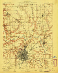
1907 · Springfield
USGS Topo · 1:62,500
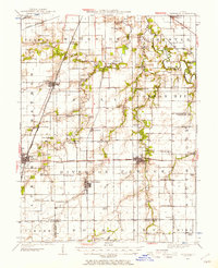
1922 · Divernon
USGS Topo · 1:62,500
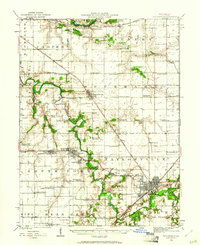
1923 · Taylorville
USGS Topo · 1:62,500
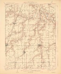
1924 · Divernon
USGS Topo · 1:62,500
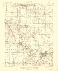
1925 · Taylorville
USGS Topo · 1:62,500
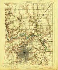
1930 · Springfield
USGS Topo · 1:62,500
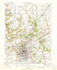
1940 · Springfield
USGS Topo · 1:62,500
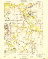
1950 · Springfield East
USGS Topo · 1:24,000
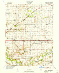
1954 · Mechanicsburg
USGS Topo · 1:62,500

1958 · Decatur
USGS Topo · 1:250,000