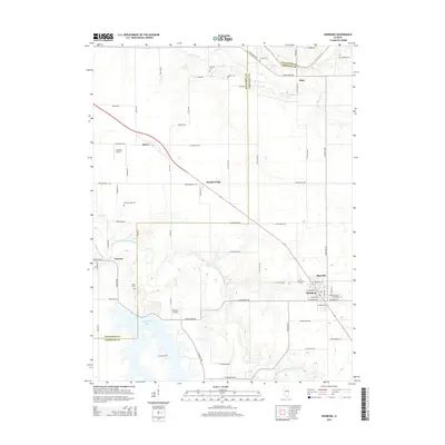
2015 Map of Edinburg
USGS Topo · Published 2015About this map
Edinburg serves as the primary hub in this central Illinois landscape, where the boundary between Sangamon Co and Christian Co divides a region defined by its prairie tributaries and modern water management. The southern portion of the map is dominated by the northern reaches of Sangchris Lake, an expansive reservoir fed by Clear Cr and the South Fork Sangamon River. This area is punctuated by small aviation landmarks such as Hundley Airport and Tommy's Airpark, reflecting a rural infrastructure that maintains local connectivity.
Find a feature on this map
72 named features on this map. Tap any name to fly to it.
Don’t see what you’re looking for? This feature index may not catch every label — zoom into the map to look around manually.
Map Details
Editions of this 2015 Edinburg Map
This is the sole edition of this map. No revisions or reprints were ever made.
Other maps of this area

1907 · Springfield
USGS Topo · 1:62,500

1922 · Divernon
USGS Topo · 1:62,500

1923 · Taylorville
USGS Topo · 1:62,500

1924 · Divernon
USGS Topo · 1:62,500

1925 · Taylorville
USGS Topo · 1:62,500

1930 · Springfield
USGS Topo · 1:62,500

1940 · Springfield
USGS Topo · 1:62,500

1950 · Springfield East
USGS Topo · 1:24,000

1954 · Mechanicsburg
USGS Topo · 1:62,500

1958 · Decatur
USGS Topo · 1:250,000