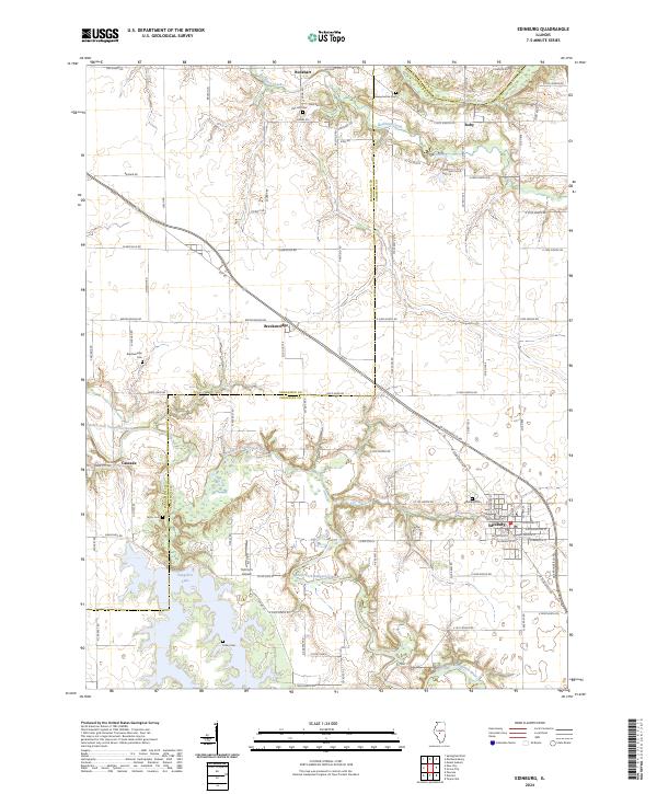
2024 Map of Edinburg
USGS Topo · Published 2024About this map
The South Fork Sangamon River and its tributary Buckhart Creek define the agricultural landscape across this border region between Sangamon and Christian counties. Central to this map is the village of Edinburg, where a concentrated grid of streets like W Douglas St and E Washington St meets the open prairie. The area’s history is preserved in several rural burial grounds, including Oak Hill Cem and Taylor Cem, which anchor the smaller unincorporated communities of Buckhart and Cascade.
Find a feature on this map
60 named features on this map. Tap any name to fly to it.
Don’t see what you’re looking for? This feature index may not catch every label — zoom into the map to look around manually.
Map Details
Editions of this 2024 Edinburg Map
This is the sole edition of this map. No revisions or reprints were ever made.
Other maps of this area

1907 · Springfield
USGS Topo · 1:62,500

1922 · Divernon
USGS Topo · 1:62,500

1923 · Taylorville
USGS Topo · 1:62,500

1924 · Divernon
USGS Topo · 1:62,500

1925 · Taylorville
USGS Topo · 1:62,500

1930 · Springfield
USGS Topo · 1:62,500

1940 · Springfield
USGS Topo · 1:62,500

1950 · Springfield East
USGS Topo · 1:24,000

1954 · Mechanicsburg
USGS Topo · 1:62,500

1958 · Decatur
USGS Topo · 1:250,000