
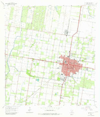
1963 Map of Edinburg
USGS Topo · Published 1965About this map
The agricultural and educational heart of the Rio Grande Valley is centered on Edinburg in the early 1960s, a period of established citrus groves and intensive irrigation. The landscape is defined by the Edinburg Main Canal and the Santa Ana Canal, which support the grid-patterned fields surrounding the city. The presence of Pan American College and a high density of schools, such as Lamar Sch and Stephen F Austin Sch, reflects the community's growth as a regional hub.
Find a feature on this map
48 named features on this map. Tap any name to fly to it.
Don’t see what you’re looking for? This feature index may not catch every label — zoom into the map to look around manually.
Map Details
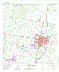
Editions of this 1963 Edinburg Map
3 editions found
Other maps of this area

1914 · San Juan
USGS Topo · 1:48,000

1916 · San Juan
USGS Topo · 1:62,500

1940 · Monte Christo
USGS Topo · 1:62,500

1949 · Mc Allen
USGS Topo · 1:250,000

1954 · McAllen
USGS Topo · 1:250,000

1957 · Mc Allen
USGS Topo · 1:250,000

1962 · McAllen
USGS Topo · 1:250,000

1963 · Monte Christo
USGS Topo · 1:24,000
1963 · Hargill
USGS Topo · 1:24,000
1963 · Faysvillle
USGS Topo · 1:24,000
Featured Places
- McAllen, TX
- Edinburg, TX
- Pharr, TX
- Citrus City Lake Number 1 Colonia, TX
- Evangeline Gardens Colonia, Edinburg