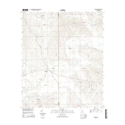
2015 Map of Edinburg
USGS Topo · Published 2015About this map
The Pearl River meanders across this landscape on the boundary of Leake Co and Neshoba Co, defining the character of the riverine bottomlands. This survey documents the rural communities of Edinburg, Ebenezer, and Remus at a time when the local economy remained closely tied to the water and the woods. The topography is marked by distinctive features such as Yellow Bluff and the prehistoric Coughlin Mound, while the alluvial floor includes the broad Palmetto Flats.
Find a feature on this map
75 named features on this map. Tap any name to fly to it.
Don’t see what you’re looking for? This feature index may not catch every label — zoom into the map to look around manually.
Map Details
Editions of this 2015 Edinburg Map
This is the sole edition of this map. No revisions or reprints were ever made.
Other maps of this area

1953 · Meridian
USGS Topo · 1:250,000

1957 · Meridian
USGS Topo · 1:250,000

1962 · Edinburg
USGS Topo · 1:62,500

1965 · Meridian
USGS Topo · 1:250,000

1972 · Pearl River
USGS Topo · 1:24,000

1972 · Plattsburg
USGS Topo · 1:24,000

1972 · McAfee
USGS Topo · 1:24,000

1972 · Madden
USGS Topo · 1:24,000
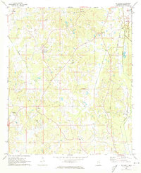
1972 · McDonald
USGS Topo · 1:24,000

1984 · Carthage
USGS Topo · 1:100,000