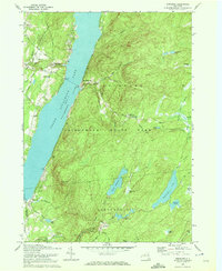
1970 Map of Edinburg
USGS Topo · Published 1972About this map
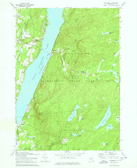
Great Sacandaga Lake dominates this 1970s landscape, illustrating the character of the southern Adirondack State Park along the border of Edinburg and Providence. The map details the transition from lakeside settlements like Edinburg and Batchellerville to the higher, forested elevations of Maxon Ridge and Horse Hill. The local infrastructure is well-defined, showing the Plateau Landing Field and numerous family-named routes such as Military Road and Tange Road.
Find a feature on this map
66 named features on this map. Tap any name to fly to it.
Don’t see what you’re looking for? This feature index may not catch every label — zoom into the map to look around manually.
Map Details
Editions of this 1970 Edinburg Map
2 editions found
Other maps of this area

1899 · Broadalbin
USGS Topo · 1:62,500

1902 · Broadalbin
USGS Topo · 1:62,500

1902 · Saratoga
USGS Topo · 1:62,500

1903 · Luzerne
USGS Topo · 1:62,500

1910 · Stony Creek
USGS Topo · 1:62,500

1935 · Middle Grove
USGS Topo · 1:24,000

1942 · Saratoga
USGS Topo · 1:62,500

1945 · Edinburg
USGS Topo · 1:24,000
1945 · Galway
USGS Topo · 1:24,000

1945 · Northville
USGS Topo · 1:24,000