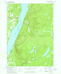
1970 Map of Edinburg
USGS Topo · Published 1978About this map
Great Sacandaga Lake dominates this 1970s landscape, illustrating the dramatic geography of northern Saratoga County. The shoreline is dotted with settlements such as Batchellerville and Edinburg, where the Edinburg Cem and Consolidated School No 1 serve as local landmarks. The area's evolution from a timber-and-tannery past to a more modern recreational and educational hub is evidenced by the presence of Adirondack Bible College on Fox Hill and the Plateau Landing Field near the lake’s western edge.
Find a feature on this map
62 named features on this map. Tap any name to fly to it.
Don’t see what you’re looking for? This feature index may not catch every label — zoom into the map to look around manually.
Map Details
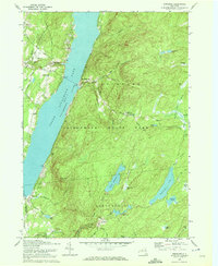
Editions of this 1970 Edinburg Map
2 editions found
Other maps of this area

1899 · Broadalbin
USGS Topo · 1:62,500

1902 · Broadalbin
USGS Topo · 1:62,500

1902 · Saratoga
USGS Topo · 1:62,500

1903 · Luzerne
USGS Topo · 1:62,500

1910 · Stony Creek
USGS Topo · 1:62,500

1935 · Middle Grove
USGS Topo · 1:24,000

1942 · Saratoga
USGS Topo · 1:62,500

1945 · Edinburg
USGS Topo · 1:24,000
1945 · Galway
USGS Topo · 1:24,000

1945 · Northville
USGS Topo · 1:24,000