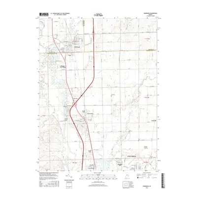
2016 Map of Edinburgh
USGS Topo · Published 2016About this map
The Big Blue River and Driftwood River define the agricultural landscape of this Indiana region where Johnson, Shelby, and Bartholomew counties meet. This survey shows the established town of Edinburgh alongside smaller settlements such as Taylorsville, Pleasant View Village, and North Park. The presence of the Tannehill Covered Bridge over the Driftwood River highlights the preservation of local engineering, while the Columbus Municipal Airport and Ivy Tech Community College-Columbus signify the modern development extending north from Columbus.
Find a feature on this map
87 named features on this map. Tap any name to fly to it.
Don’t see what you’re looking for? This feature index may not catch every label — zoom into the map to look around manually.
Map Details
Editions of this 2016 Edinburgh Map
This is the sole edition of this map. No revisions or reprints were ever made.
Other maps of this area

1942 · Franklin
USGS Topo · 1:125,000

1942 · Columbus
USGS Topo · 1:125,000

1947 · Franklin
USGS Topo · 1:62,500

1947 · Hope
USGS Topo · 1:24,000

1948 · Franklin
USGS Topo · 1:24,000

1948 · Edinburg
USGS Topo · 1:24,000

1948 · New Bellsville
USGS Topo · 1:24,000

1948 · Hope
USGS Topo · 1:24,000

1948 · Nineveh
USGS Topo · 1:24,000

1948 · Lewis Creek
USGS Topo · 1:24,000