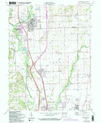
2022 Map of Edinburgh
USGS Topo · Published 2022About this map
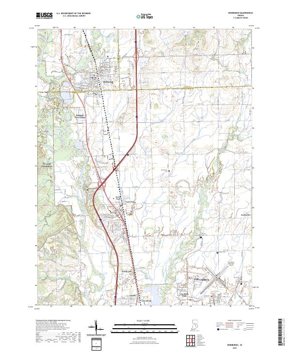
The Big Blue River and Sugar Creek converge near Edinburgh to form the Driftwood River, a hydrological junction that has historically defined this portion of the Indiana landscape. This 2022 survey illustrates the modern footprint of the town, centered around Edinburgh High School and the L & I RR corridor, while capturing a series of smaller residential developments like Cuba, Pleasant View Village, and North Park. The transition between Johnson, Shelby, and Bartholomew counties is marked by a concentration of rural burial grounds, including Rest Haven Cem and Tannehill Cem, which provide significant data points for genealogical research.
Find a feature on this map
151 named features on this map. Tap any name to fly to it.
Don’t see what you’re looking for? This feature index may not catch every label — zoom into the map to look around manually.
Map Details
Editions of this 2022 Edinburgh Map
This is the sole edition of this map. No revisions or reprints were ever made.