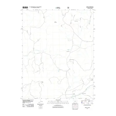
2011 Map of Edith
USGS Topo · Published 2011About this map
Edith sits along the southern border of Colorado, where the Navajo River flows through a landscape defined by high mesas and deep canyons. The settlement is positioned near the junction of County Rd 391 and County Rd 339, serving as a gateway to the high-elevation terrain of Archuleta Mesa and Mesa Pedregosa. This area represents a complex transition between the river valley and the rising slopes of Klutter Mountain, where drainage systems like Boone Creek and Coyote Creek have carved a network of flats and parks.
Find a feature on this map
30 named features on this map. Tap any name to fly to it.
Don’t see what you’re looking for? This feature index may not catch every label — zoom into the map to look around manually.
Map Details
Editions of this 2011 Edith Map
This is the sole edition of this map. No revisions or reprints were ever made.
Other maps of this area
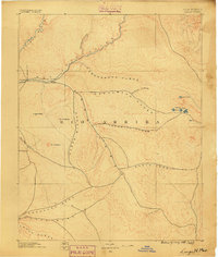
1889 · Largo
USGS Topo · 1:250,000
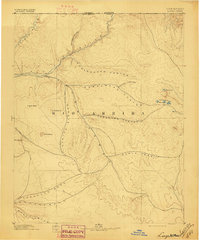
1895 · Largo
USGS Topo · 1:250,000
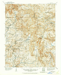
1913 · Summitville
USGS Topo · 1:125,000
1915 · Summitville
USGS Topo · 1:125,000
1924 · Pagosa Springs
USGS Topo · 1:125,000
1927 · Pagosa Springs
USGS Topo · 1:125,000

1945 · Durango
USGS Topo · 1:250,000
1953 · Durango
USGS Topo · 1:250,000
1954 · Durango
USGS Topo · 1:250,000

1954 · Aztec
USGS Topo · 1:250,000