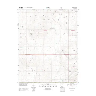
2013 Map of Edith
USGS Topo · Published 2013About this map
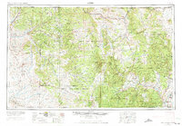
The Edith settlement occupies a strategic point where the Navajo River flows through the southern reaches of the San Juan National Forest. This high-altitude landscape is defined by its massive flat-topped landforms, such as Archuleta Mesa, Vigil Mesa, and Abeyta Mesa, which dominate the horizon along the border with New Mexico. The drainage patterns of the area are complex, with steep-walled corridors like Abeyta Canyon and Trujillo Canyon funneling seasonal runoff toward the primary river system. Local infrastructure and agriculture rely on features like the Shahan Ditch and vital water sources including Felix Spring and Pescado Springs. The presence of named clearings such as Coyote Park and Kenney Flats indicates historical grazing or timber use within the mountainous terrain, while US Hwy 84 provides the primary north-south transit route through this remote section of Archuleta County.
Find a feature on this map
79 named features on this map. Tap any name to fly to it.
Don’t see what you’re looking for? This feature index may not catch every label — zoom into the map to look around manually.
Map Details
Editions of this 2013 Edith Map
This is the sole edition of this map. No revisions or reprints were ever made.
Other maps of this area
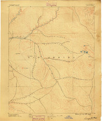
1889 · Largo
USGS Topo · 1:250,000
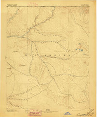
1895 · Largo
USGS Topo · 1:250,000
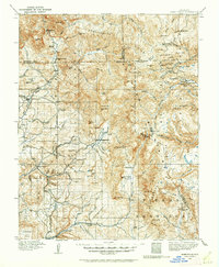
1913 · Summitville
USGS Topo · 1:125,000
1915 · Summitville
USGS Topo · 1:125,000
1924 · Pagosa Springs
USGS Topo · 1:125,000
1927 · Pagosa Springs
USGS Topo · 1:125,000

1945 · Durango
USGS Topo · 1:250,000

1953 · Durango
USGS Topo · 1:250,000
1954 · Durango
USGS Topo · 1:250,000
1954 · Aztec
USGS Topo · 1:250,000