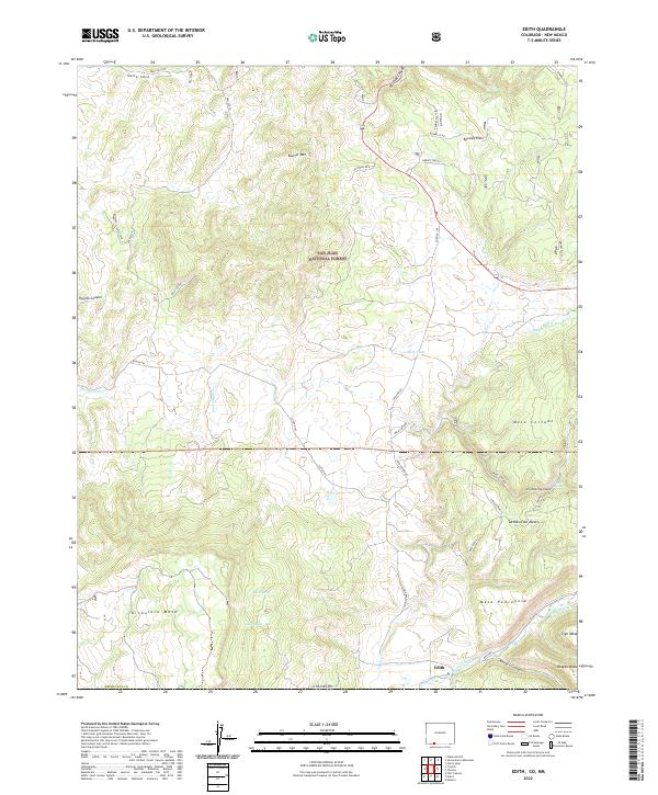
2022 Map of Edith
USGS Topo · Published 2022About this map
The Navajo River winds through the southern reaches of this landscape near the border of Archuleta County, where the small settlement of Edith sits at the base of Archuleta Mesa. This rugged intersection of Colorado and New Mexico terrain is defined by high mesas and deep canyons, with Vigil Mesa and Mesa Pedregosa overlooking the river valley. The map reveals an intricate network of water management features essential to the high desert, including the Shahan Ditch and Bigbee Ditch Number 1.
Find a feature on this map
43 named features on this map. Tap any name to fly to it.
Don’t see what you’re looking for? This feature index may not catch every label — zoom into the map to look around manually.
Map Details
Editions of this 2022 Edith Map
This is the sole edition of this map. No revisions or reprints were ever made.
Other maps of this area

1889 · Largo
USGS Topo · 1:250,000

1895 · Largo
USGS Topo · 1:250,000

1913 · Summitville
USGS Topo · 1:125,000

1915 · Summitville
USGS Topo · 1:125,000

1924 · Pagosa Springs
USGS Topo · 1:125,000

1927 · Pagosa Springs
USGS Topo · 1:125,000

1945 · Durango
USGS Topo · 1:250,000

1953 · Durango
USGS Topo · 1:250,000

1954 · Durango
USGS Topo · 1:250,000

1954 · Aztec
USGS Topo · 1:250,000