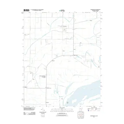
2011 Map of Edmondson
USGS Topo · Published 2011About this map
Mississippi River floodplains define this landscape, where the wide sweep of Cow Island Bend and the Ninetysix Landing reveal the area's deep connection to the waterway. The terrain is crisscrossed by a complex drainage system of bayous, notably Fifteenmile Bayou and Tenmile Bayou, which weave between small agricultural settlements. This 2011 survey documents a mix of traditional rural crossroads like Ninetysix Corner and Midway Corner alongside newer residential pockets such as Anthony Subdivision and the community of Anthonyville.
Find a feature on this map
72 named features on this map. Tap any name to fly to it.
Don’t see what you’re looking for? This feature index may not catch every label — zoom into the map to look around manually.
Map Details
Editions of this 2011 Edmondson Map
This is the sole edition of this map. No revisions or reprints were ever made.
Other maps of this area

1908 · Lake Cormorant
USGS Topo · 1:24,000

1912 · Lake Cormorant
USGS Topo · 1:31,680

1916 · Memphis
USGS Topo · 1:62,500

1925 · Memphis
USGS Topo · 1:48,000

1927 · Memphis
USGS Topo · 1:62,500

1931 · Horseshoe Lake
USGS Topo · 1:62,500

1932 · Horn Lake
USGS Topo · 1:48,000

1935 · Horn Lake
USGS Topo · 1:62,500

1939 · Horseshoe Lake
USGS Topo · 1:62,500

1939 · Edmondson
USGS Topo · 1:62,500