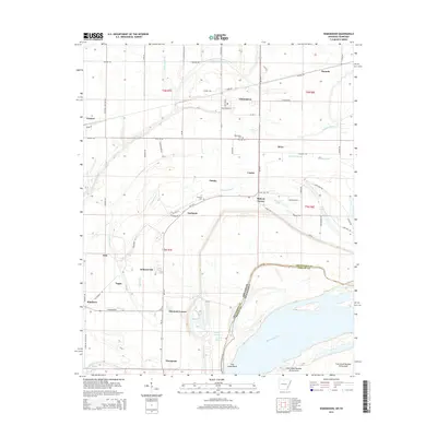
2014 Map of Edmondson
USGS Topo · Published 2014About this map
Edmondson and its surrounding agricultural hamlets occupy the low-lying plains of the Delta region where the Arkansas and Tennessee state line meets the Mississippi River. This landscape is defined by the complex hydrology of the river’s floodplains, featuring the sweeping curves of Cow Island Bend and a network of drainage systems including Fifteenmile Bayou and Tenmile Bayou. Small settlements like Proctor, Neuhardt, and Anthonyville are connected by a grid of rural roads such as Mudline Rd and Proctor Rd. Local history and genealogy are anchored by the Truevine Cem and Edmondson Cem, which serve these long-standing farming communities. The presence of Mounds in the northeast quadrant suggests the ancient human occupation of this alluvial land long before the modern era of commercial agriculture and river management.
Find a feature on this map
75 named features on this map. Tap any name to fly to it.
Don’t see what you’re looking for? This feature index may not catch every label — zoom into the map to look around manually.
Map Details
Editions of this 2014 Edmondson Map
This is the sole edition of this map. No revisions or reprints were ever made.
Other maps of this area

1908 · Lake Cormorant
USGS Topo · 1:24,000

1912 · Lake Cormorant
USGS Topo · 1:31,680

1916 · Memphis
USGS Topo · 1:62,500

1925 · Memphis
USGS Topo · 1:48,000

1927 · Memphis
USGS Topo · 1:62,500

1931 · Horseshoe Lake
USGS Topo · 1:62,500

1932 · Horn Lake
USGS Topo · 1:48,000

1935 · Horn Lake
USGS Topo · 1:62,500

1939 · Horseshoe Lake
USGS Topo · 1:62,500

1939 · Edmondson
USGS Topo · 1:62,500