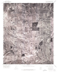
1975 Map of Edmondson SW
USGS Topo · Published 1976About this map
Fifteenmile Bayou and Blackfish Lake define the drainage of this delta landscape in St. Francis County, Arkansas, as captured in 1975. The orthophotoquad format provides a rare literal look at the geometric layout of agricultural fields and the small rural crossroads that anchored these farming communities in the mid-1970s. Key settlements such as Heth and Browns appear alongside the evocative Greasy Corner, showing how the local road network connected these scattered hamlets. At the southern edge of the sheet, Chatfield marks a point of activity near the bayou. This document was produced through simple rectification of aerial photography, offering researchers a clear view of the timbered creek bottoms and the extensive land clearing that had shaped the region by the late 20th century.
Find a feature on this map
6 named features on this map. Tap any name to fly to it.
Don’t see what you’re looking for? This feature index may not catch every label — zoom into the map to look around manually.
Map Details
Editions of this 1975 Edmondson SW Map
This is the sole edition of this map. No revisions or reprints were ever made.
Other maps of this area

1931 · Horseshoe Lake
USGS Topo · 1:62,500

1939 · Horseshoe Lake
USGS Topo · 1:62,500

1939 · Park Place
USGS Topo · 1:62,500

1939 · Edmondson
USGS Topo · 1:62,500

1940 · Whitmore
USGS Topo · 1:62,500

1948 · Helena
USGS Topo · 1:250,000

1950 · Helena
USGS Topo · 1:250,000

1953 · Memphis
USGS Topo · 1:250,000

1954 · Horseshoe Lake
USGS Topo · 1:62,500

1954 · Edmondson
USGS Topo · 1:62,500