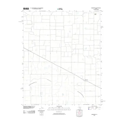
2010 Map of Edmonson
USGS Topo · Published 2010About this map
Edmonson and the surrounding agricultural plains of Hale County are defined by a rhythmic grid of county roads and drainage pathways in this 2010 survey. The landscape is marked by the North Fork Running Water Draw and the Running River Draw, which wind through the flat topography between vast sections of farm ground. Local transportation relies on a network of Farm to Market roads, including FM 145, FM 1424, and FM 179, which connect the small community of Edmonson to outlying points like Center Plains. The map captures the specialized land use of the Texas Panhandle, where the natural drainage of the draws contrasts with the rigid geometry of the road system, providing a clear record of the rural infrastructure and settlement patterns established in the early 21st century.
Find a feature on this map
28 named features on this map. Tap any name to fly to it.
Don’t see what you’re looking for? This feature index may not catch every label — zoom into the map to look around manually.
Map Details
Editions of this 2010 Edmonson Map
This is the sole edition of this map. No revisions or reprints were ever made.
Other maps of this area

1954 · Plainview
USGS Topo · 1:250,000

1954 · Clovis
USGS Topo · 1:250,000

1958 · Clovis
USGS Topo · 1:250,000

1958 · Plainview
USGS Topo · 1:250,000

1965 · Hart
USGS Topo · 1:24,000

1965 · Edmonson NE
USGS Topo · 1:24,000

1965 · Kress West
USGS Topo · 1:24,000

1965 · Edmonson
USGS Topo · 1:24,000

1965 · Hilburn
USGS Topo · 1:24,000

1965 · Center Plains School
USGS Topo · 1:24,000