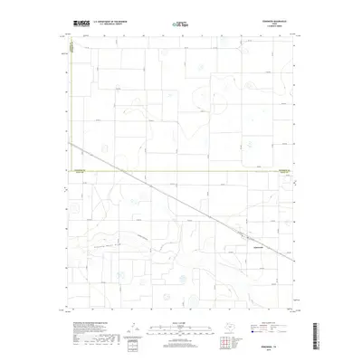
2019 Map of Edmonson
USGS Topo · Published 2019About this map
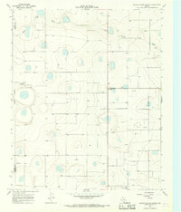
Edmonson sits as the primary settlement in this section of the High Plains, where the landscape is defined by a dense, rectilinear grid of county roads and agricultural boundaries. The most prominent natural feature is Running Water Draw, which meanders across the southern half of the map, providing a rare break in the geometric regularity of the Texas Panhandle. This ephemeral drainage system represents a critical hydrological element in an area otherwise dominated by irrigated farming and vast plains.
Find a feature on this map
33 named features on this map. Tap any name to fly to it.
Don’t see what you’re looking for? This feature index may not catch every label — zoom into the map to look around manually.
Map Details
Editions of this 2019 Edmonson Map
This is the sole edition of this map. No revisions or reprints were ever made.
Other maps of this area
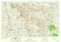
1954 · Plainview
USGS Topo · 1:250,000

1954 · Clovis
USGS Topo · 1:250,000

1958 · Clovis
USGS Topo · 1:250,000
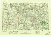
1958 · Plainview
USGS Topo · 1:250,000
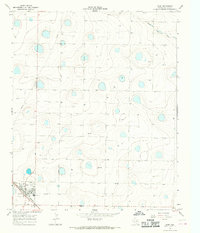
1965 · Hart
USGS Topo · 1:24,000
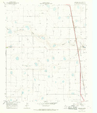
1965 · Edmonson NE
USGS Topo · 1:24,000
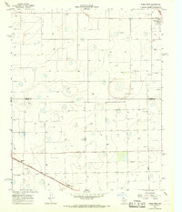
1965 · Kress West
USGS Topo · 1:24,000
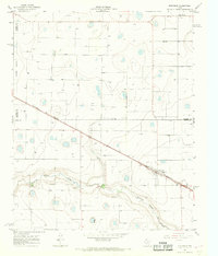
1965 · Edmonson
USGS Topo · 1:24,000
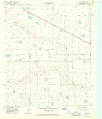
1965 · Hilburn
USGS Topo · 1:24,000
1965 · Center Plains School
USGS Topo · 1:24,000