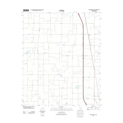
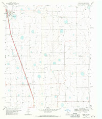
2012 Map of Edmonson NE
USGS Topo · Published 2012About this map
Eunice sits at the junction of several county arteries in this early 21st-century landscape of the High Plains. The area is defined by a rigorous grid of section-line roads, including Co Road X, Co Road Y, and Co Road Z, which partition the agricultural landscape into a patchwork of productive fields. This geometry is interrupted only by the large-scale transit corridor of the interstate and its accompanying Frontage Rd running along the eastern edge of the quadrangle. Specialized local infrastructure like the Joe Vaughn Spraying Airport highlights the intensive aerial operations common in this cotton and grain-producing region of Swisher County. State-maintained routes like Ranch Road 928 and Ranch Road 3141 provide the primary connection between these isolated farmsteads and larger regional trade centers.
Find a feature on this map
19 named features on this map. Tap any name to fly to it.
Don’t see what you’re looking for? This feature index may not catch every label — zoom into the map to look around manually.
Map Details
Editions of this 2012 Edmonson NE Map
This is the sole edition of this map. No revisions or reprints were ever made.
Other maps of this area

1954 · Plainview
USGS Topo · 1:250,000

1958 · Plainview
USGS Topo · 1:250,000
1965 · Edmonson NE
USGS Topo · 1:24,000
1965 · Kress West
USGS Topo · 1:24,000
1965 · Tulia
USGS Topo · 1:24,000
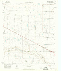
1965 · Edmonson
USGS Topo · 1:24,000
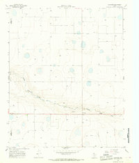
1965 · Lakeview
USGS Topo · 1:24,000
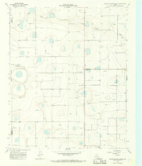
1965 · Center Plains School
USGS Topo · 1:24,000
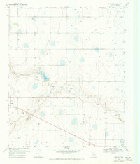
1968 · Tule Lake
USGS Topo · 1:24,000
1969 · Kress East
USGS Topo · 1:24,000