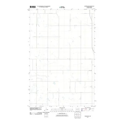
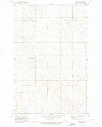
2011 Map of Edmore SW
USGS Topo · Published 2011About this map
Lawton Cemetery is the primary landmark on this map, serving as a focal point for the surrounding prairie of Ramsey County. The landscape is defined by a dense network of sectional roads, including 99th Ave NE, 100th Ave NE, and 104th Ave NE, which divide the terrain into the classic agricultural grid of North Dakota. Numerous small wetlands and depressions are scattered throughout the sections, linked by a series of east-west thoroughfares such as 66th St NE and 58th St NE. This layout reflects the persistent homesteading patterns of the region, where County roads like County Hwy 22A provide the essential transit corridors for local residents and agricultural operations.
Find a feature on this map
16 named features on this map. Tap any name to fly to it.
Don’t see what you’re looking for? This feature index may not catch every label — zoom into the map to look around manually.
Map Details
Editions of this 2011 Edmore SW Map
This is the sole edition of this map. No revisions or reprints were ever made.
Other maps of this area

1953 · Devils Lake
USGS Topo · 1:250,000

1956 · Devils Lake
USGS Topo · 1:250,000
1971 · Brocket
USGS Topo · 1:24,000
1971 · Southam
USGS Topo · 1:24,000
1971 · Lakota NW
USGS Topo · 1:24,000
1972 · Derrick
USGS Topo · 1:24,000
1972 · Derrick SE
USGS Topo · 1:24,000
1972 · Edmore SW
USGS Topo · 1:24,000
1972 · Edmore
USGS Topo · 1:24,000
1972 · Edmore NE
USGS Topo · 1:24,000