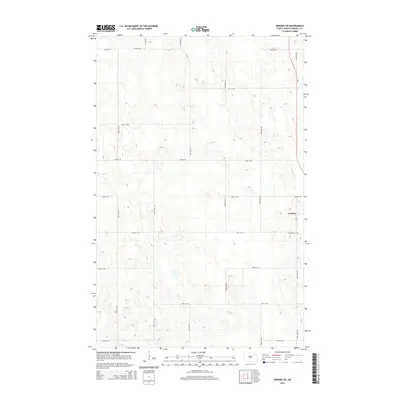
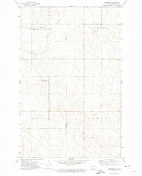
2014 Map of Edmore SW
USGS Topo · Published 2014About this map
The settlement of Lawton anchors the eastern edge of this Ramsey County landscape, situated where Nd-1 meets local thoroughfares like 62nd St NE. This 2014 survey reveals a classic Great Plains section-line grid, defined by roads such as 104th Ave NE and 60th St NE, which navigate a terrain dense with small prairie potholes and depressions. South of the town center, the Lawton Cem serves as a significant landmark for local history and genealogy. The map captures a moment in the modern agricultural era, showing how county roads like Co Road 22A and Cr-8 integrate the rural township into the broader regional transport network of North Dakota.
Find a feature on this map
21 named features on this map. Tap any name to fly to it.
Don’t see what you’re looking for? This feature index may not catch every label — zoom into the map to look around manually.
Map Details
Editions of this 2014 Edmore SW Map
This is the sole edition of this map. No revisions or reprints were ever made.
Other maps of this area

1953 · Devils Lake
USGS Topo · 1:250,000

1956 · Devils Lake
USGS Topo · 1:250,000
1971 · Brocket
USGS Topo · 1:24,000
1971 · Southam
USGS Topo · 1:24,000
1971 · Lakota NW
USGS Topo · 1:24,000
1972 · Derrick
USGS Topo · 1:24,000
1972 · Derrick SE
USGS Topo · 1:24,000
1972 · Edmore SW
USGS Topo · 1:24,000
1972 · Edmore
USGS Topo · 1:24,000
1972 · Edmore NE
USGS Topo · 1:24,000