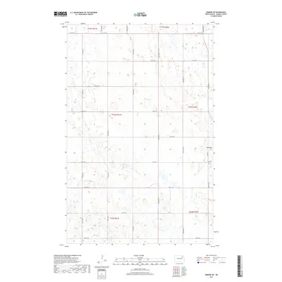
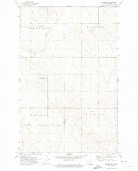
2017 Map of Edmore SW
USGS Topo · Published 2017About this map
Lawton sits on the eastern edge of this Ramsey County landscape, characterized by a complex network of wetlands and small prairie potholes typical of the region's glacial topography. The settlement is anchored by a grid of local infrastructure, including the Lawton Cem and connections along Co Hwy 8. This modern survey reveals how the land is systematically divided into townships such as t156n r60w and t157n r61w, with a precise secondary road network following section lines. The naming of Good Gravel Rd suggests the practical nature of rural transit in this agricultural territory, where surveyed lines like 60th St NE and 99th Ave NE provide the primary framework for movement across the open plains.
Find a feature on this map
20 named features on this map. Tap any name to fly to it.
Don’t see what you’re looking for? This feature index may not catch every label — zoom into the map to look around manually.
Map Details
Editions of this 2017 Edmore SW Map
This is the sole edition of this map. No revisions or reprints were ever made.
Other maps of this area

1953 · Devils Lake
USGS Topo · 1:250,000

1956 · Devils Lake
USGS Topo · 1:250,000
1971 · Brocket
USGS Topo · 1:24,000
1971 · Southam
USGS Topo · 1:24,000
1971 · Lakota NW
USGS Topo · 1:24,000
1972 · Derrick
USGS Topo · 1:24,000
1972 · Derrick SE
USGS Topo · 1:24,000
1972 · Edmore SW
USGS Topo · 1:24,000
1972 · Edmore
USGS Topo · 1:24,000
1972 · Edmore NE
USGS Topo · 1:24,000