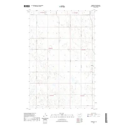
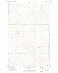
2020 Map of Edmore SW
USGS Topo · Published 2020About this map
Lawton serves as the primary hub in this eastern section of Ramsey County, situated at the junction of Co Hwy 8 and 61st St NE. The landscape is defined by the high-plains geography of the North Dakota prairie, characterized by a dense network of seasonal wetlands and small basins typical of the region's glaciated terrain. Local history is anchored at the Lawton Cem south of the main settlement. The survey detail reflects a strictly organized township and range system, with gravel routes like Good Gravel Rd and numerous numbered avenues, such as 100th Ave NE and 105th Ave NE, providing a precise grid for the agricultural operations that dominate this area. The abundance of unnamed water bodies across townships like t156n r60w indicates the drainage patterns vital to the local prairie pothole ecosystem.
Find a feature on this map
27 named features on this map. Tap any name to fly to it.
Don’t see what you’re looking for? This feature index may not catch every label — zoom into the map to look around manually.
Map Details
Editions of this 2020 Edmore SW Map
This is the sole edition of this map. No revisions or reprints were ever made.
Other maps of this area

1953 · Devils Lake
USGS Topo · 1:250,000

1956 · Devils Lake
USGS Topo · 1:250,000
1971 · Brocket
USGS Topo · 1:24,000
1971 · Southam
USGS Topo · 1:24,000
1971 · Lakota NW
USGS Topo · 1:24,000
1972 · Derrick
USGS Topo · 1:24,000
1972 · Derrick SE
USGS Topo · 1:24,000
1972 · Edmore SW
USGS Topo · 1:24,000
1972 · Edmore
USGS Topo · 1:24,000
1972 · Edmore NE
USGS Topo · 1:24,000