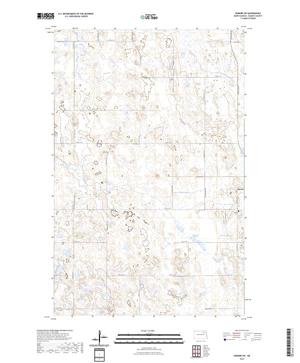
2024 Map of Edmore SW
USGS Topo · Published 2024About this map
The small settlement of Lawton anchors this Ramsey County landscape, situated along the eastern edge of the survey area. The local geography is defined by the high concentration of prairie potholes and wetlands typical of the region, much of which is preserved within the Ramsey County Waterfowl Production Area. This conservation area highlights the importance of the local ecosystem for migratory birds. To the south of the town, the Lawton Cem serves as a significant landmark for those researching family history in the area. The map illustrates a rigid grid of rural roads, including Good Gravel Rd and numerous numbered section-line streets like 60th St NE, which facilitate movement between the scattered farmsteads and agricultural fields that dominate the terrain.
Find a feature on this map
21 named features on this map. Tap any name to fly to it.
Don’t see what you’re looking for? This feature index may not catch every label — zoom into the map to look around manually.
Map Details
Editions of this 2024 Edmore SW Map
This is the sole edition of this map. No revisions or reprints were ever made.
Other maps of this area

1953 · Devils Lake
USGS Topo · 1:250,000

1956 · Devils Lake
USGS Topo · 1:250,000

1971 · Brocket
USGS Topo · 1:24,000

1971 · Southam
USGS Topo · 1:24,000

1971 · Lakota NW
USGS Topo · 1:24,000

1972 · Derrick
USGS Topo · 1:24,000

1972 · Derrick SE
USGS Topo · 1:24,000

1972 · Edmore SW
USGS Topo · 1:24,000

1972 · Edmore
USGS Topo · 1:24,000

1972 · Edmore NE
USGS Topo · 1:24,000