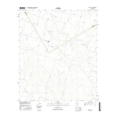
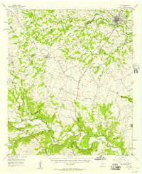
2016 Map of Edna Hill
USGS Topo · Published 2016About this map
Edna Hill sits near the intersection of FM 1702 and Co RD 325, serving as a central point in this rural landscape spanning the border between Erath and Comanche Counties. The terrain is defined by a dense network of seasonal watercourses and land management features, including several reservoirs such as Soil Conservation Service Site 21 Reservoir and Soil Conservation Service Site 18 Reservoir. These sites reflect the post-war emphasis on soil conservation and water management in the Texas cross timbers region.
Find a feature on this map
55 named features on this map. Tap any name to fly to it.
Don’t see what you’re looking for? This feature index may not catch every label — zoom into the map to look around manually.
Map Details
Editions of this 2016 Edna Hill Map
This is the sole edition of this map. No revisions or reprints were ever made.
Other maps of this area
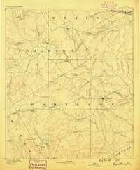
1888 · Hamilton
USGS Topo · 1:125,000
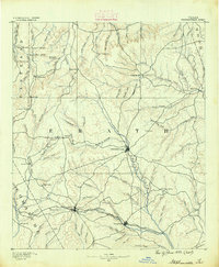
1890 · Stephenville
USGS Topo · 1:125,000
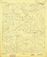
1894 · Hamilton
USGS Topo · 1:125,000
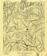
1920 · Stephenville
USGS Topo · 1:125,000

1954 · Brownwood
USGS Topo · 1:250,000

1954 · Abilene
USGS Topo · 1:250,000
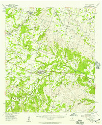
1956 · Gustine
USGS Topo · 1:62,500
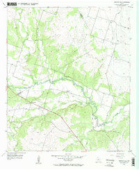
1956 · Gentrys Mill
USGS Topo · 1:24,000
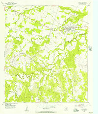
1956 · Gustine
USGS Topo · 1:24,000
1956 · Hico
USGS Topo · 1:62,500