
1952 Map of Edna
USGS Topo · Published 1953About this map
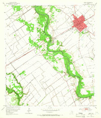
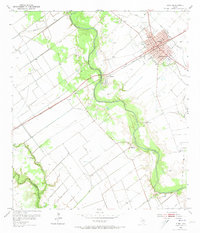
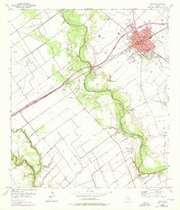
Edna serves as the central hub of this 1952 Jackson County landscape, where the Southern Pacific railroad cuts a diagonal path through the coastal plains. The town's grid is well-defined, anchored by civic landmarks like the Courthouse, City Hall, and the Armory, with the County Fairgrounds situated on the northern outskirts. Beyond the residential blocks, the geography is shaped by the meandering Lavaca River, which is flanked by an extensive system of levees designed to manage the low-lying terrain.
Find a feature on this map
26 named features on this map. Tap any name to fly to it.
Don’t see what you’re looking for? This feature index may not catch every label — zoom into the map to look around manually.
Map Details
Editions of this 1952 Edna Map
4 editions found
Other maps of this area

1951 · Inez
USGS Topo · 1:24,000

1952 · Manson
USGS Topo · 1:24,000

1952 · La Salle
USGS Topo · 1:24,000

1952 · Marcado Creek
USGS Topo · 1:24,000

1952 · Lolita
USGS Topo · 1:24,000

1953 · Beeville
USGS Topo · 1:250,000

1953 · Seguin
USGS Topo · 1:250,000

1956 · Beeville
USGS Topo · 1:250,000

1958 · Seguin
USGS Topo · 1:250,000

1960 · Beeville
USGS Topo · 1:250,000