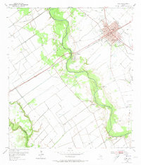
1952 Map of Edna
USGS Topo · Published 1973About this map
The Southern Pacific railroad corridor serves as the primary backbone for this mid-century view of Jackson County, connecting the county seat of Edna to outlying points like Matilda and El Toro. The town of Edna is meticulously detailed, showing the central Courthouse, Post Office, and civic structures like the Armory and County Fairgrounds. Education and community life are anchored by Austin Sch and Sam Houston Sch, while local genealogy is well-documented through sites like Prairie City Cem and Sayle Cem.
Find a feature on this map
26 named features on this map. Tap any name to fly to it.
Don’t see what you’re looking for? This feature index may not catch every label — zoom into the map to look around manually.
Map Details
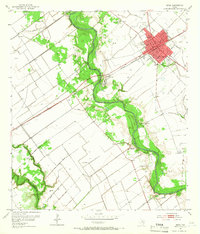
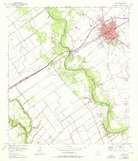
Editions of this 1952 Edna Map
4 editions found
Other maps of this area

1951 · Inez
USGS Topo · 1:24,000

1952 · Manson
USGS Topo · 1:24,000

1952 · Edna
USGS Topo · 1:24,000

1952 · La Salle
USGS Topo · 1:24,000

1952 · Marcado Creek
USGS Topo · 1:24,000

1952 · Lolita
USGS Topo · 1:24,000

1953 · Beeville
USGS Topo · 1:250,000

1953 · Seguin
USGS Topo · 1:250,000

1956 · Beeville
USGS Topo · 1:250,000

1958 · Seguin
USGS Topo · 1:250,000