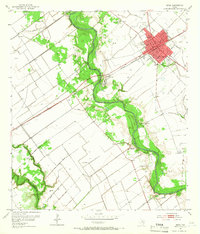
1952 Map of Edna
USGS Topo · Published 1966About this map
The Edna street grid centers this mid-century survey, serving as a hub for the agricultural plains of Jackson Co. The town is anchored by civic staples including the Courthouse, City Hall, and the Armory, with the Southern Pacific railroad providing the primary industrial artery through the region. Significant local history is preserved at the Site of Camp Independence along the Lavaca River, and a Historical Monument stands further downstream, marking the area's early Texas heritage. Outside the main settlement, the landscape is defined by the winding river bottom and small rail stops like Matilda and El Toro. Genealogists will find three distinct burial grounds: Prairie City Cem, Sayle Cem, and Gideon Cem, the latter of which sits near the western border with Victoria County.
Find a feature on this map
22 named features on this map. Tap any name to fly to it.
Don’t see what you’re looking for? This feature index may not catch every label — zoom into the map to look around manually.
Map Details
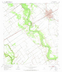
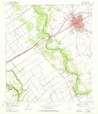
Editions of this 1952 Edna Map
4 editions found
Other maps of this area

1951 · Inez
USGS Topo · 1:24,000

1952 · Manson
USGS Topo · 1:24,000

1952 · Edna
USGS Topo · 1:24,000

1952 · La Salle
USGS Topo · 1:24,000

1952 · Marcado Creek
USGS Topo · 1:24,000

1952 · Lolita
USGS Topo · 1:24,000

1953 · Beeville
USGS Topo · 1:250,000

1953 · Seguin
USGS Topo · 1:250,000

1956 · Beeville
USGS Topo · 1:250,000

1958 · Seguin
USGS Topo · 1:250,000