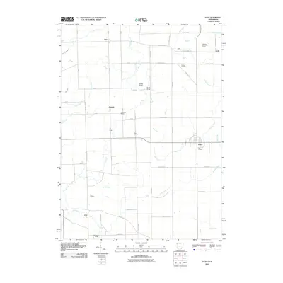
2010 Map of Edon
USGS Topo · Published 2010About this map
Edon serves as the primary hub of this corner of northwest Ohio, where the state border meets Indiana. The landscape is defined by an intricate network of drainage ditches and small creeks, including Tamarack Ditch and Bear Creek, which crisscross the agricultural grid. This 2010 survey highlights several long-standing local landmarks, such as Shaffer Bridge and Anspaugh Bridge, crossing the winding path of Fish Creek. For those researching local families, the map identifies multiple rural burial grounds, including Ligett Cemetery, Boisher Cemetery, and Eddy Cemetery, reflecting the area's deep-rooted settlement history. In the northern reaches, the village of Metz and the Woodwind Hollow Golf Course mark the transition toward the Michigan line, while Burdick Lake provides a rare natural water feature among the managed waterways like Donald Kunkle Ditch.
Find a feature on this map
64 named features on this map. Tap any name to fly to it.
Don’t see what you’re looking for? This feature index may not catch every label — zoom into the map to look around manually.
Map Details
Editions of this 2010 Edon Map
This is the sole edition of this map. No revisions or reprints were ever made.
Other maps of this area

1914 · Pioneer
USGS Topo · 1:62,500

1914 · Bryan
USGS Topo · 1:62,500

1939 · Hamilton
USGS Topo · 1:24,000

1939 · Angola East
USGS Topo · 1:24,000

1939 · Clear Lake
USGS Topo · 1:24,000

1940 · Metz
USGS Topo · 1:24,000

1940 · Clear Lake
USGS Topo · 1:24,000

1943 · Bryan
USGS Topo · 1:62,500

1944 · Pioneer
USGS Topo · 1:62,500

1947 · Angola East
USGS Topo · 1:24,000