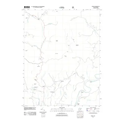
2011 Map of Edray
USGS Topo · Published 2011About this map
The Greenbrier River corridor and its surrounding highlands anchor this detailed 2011 survey of Pocahontas County. Several small communities, including Edray, Brownsburg, and Warwick, dot the landscape along a network of winding mountain roads and creek valleys. Notable aquaculture facilities, the Edray Trout Hatchery and the West Virginia State Fish Hatchery, are situated near the headwaters of Dry Creek, illustrating the importance of cold-water mountain springs to the local economy and ecology.
Find a feature on this map
53 named features on this map. Tap any name to fly to it.
Don’t see what you’re looking for? This feature index may not catch every label — zoom into the map to look around manually.
Map Details
Editions of this 2011 Edray Map
This is the sole edition of this map. No revisions or reprints were ever made.
Other maps of this area

1891 · Huntersville
USGS Topo · 1:125,000

1894 · Huntersville
USGS Topo · 1:125,000

1901 · Monterey
USGS Topo · 1:125,000

1922 · Cass
USGS Topo · 1:48,000

1923 · Marlinton
USGS Topo · 1:48,000

1923 · Warm Springs
USGS Topo · 1:48,000

1923 · Mingo
USGS Topo · 1:48,000

1924 · Cass
USGS Topo · 1:62,500

1925 · Mingo
USGS Topo · 1:62,500

1925 · Marlinton
USGS Topo · 1:62,500