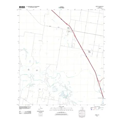
2010 Map of Edroy
USGS Topo · Published 2010About this map
Edroy sits at the junction of FM 796 and the modern corridor of N I-37, serving as a central hub for this portion of San Patricio County. The landscape is defined by the winding course of the Nueces River to the south, which creates a complex network of wetlands and seasonal watercourses including Cayamon Creek and Hondo Creek. Low-lying landforms like Odem Island and Griffin Island emerge from the river's drainage basin, illustrating the hydraulic character of the coastal plain.
Find a feature on this map
37 named features on this map. Tap any name to fly to it.
Don’t see what you’re looking for? This feature index may not catch every label — zoom into the map to look around manually.
Map Details
Editions of this 2010 Edroy Map
This is the sole edition of this map. No revisions or reprints were ever made.
Other maps of this area

1925 · Robstown
USGS Topo · 1:62,500

1927 · Mathis
USGS Topo · 1:62,500

1950 · Corpus Christi
USGS Topo · 1:250,000

1953 · Beeville
USGS Topo · 1:250,000

1954 · Orange Grove
USGS Topo · 1:62,500

1954 · Robstown
USGS Topo · 1:62,500

1954 · Mathis
USGS Topo · 1:62,500

1954 · Sinton
USGS Topo · 1:62,500

1956 · Corpus Christi
USGS Topo · 1:250,000

1956 · Beeville
USGS Topo · 1:250,000