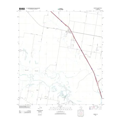
2013 Map of Edroy
USGS Topo · Published 2013About this map
The Nueces River winds through the southern portion of this landscape, creating a complex network of wetlands and riverine features including Odem Island and Griffin Island. This area of San Patricio County is defined by its agricultural and energy production footprints, with the Odem Oil Field and Riverside Oil Field marking the subterranean economy alongside the drainage of Hondo Cr. The small community of Edroy serves as a central hub, connected by an extensive grid of country roads to the nearby settlement of Hubert. Local genealogy is anchored at the Edroy Cem, situated just north of the town center. The map reveals how local infrastructure, from county roads like Co RD-50 to larger state routes, follows the natural contours provided by the river valley and its various tributaries like Cayamon Cr.
Find a feature on this map
65 named features on this map. Tap any name to fly to it.
Don’t see what you’re looking for? This feature index may not catch every label — zoom into the map to look around manually.
Map Details
Editions of this 2013 Edroy Map
This is the sole edition of this map. No revisions or reprints were ever made.
Other maps of this area

1925 · Robstown
USGS Topo · 1:62,500

1927 · Mathis
USGS Topo · 1:62,500

1950 · Corpus Christi
USGS Topo · 1:250,000

1953 · Beeville
USGS Topo · 1:250,000

1954 · Orange Grove
USGS Topo · 1:62,500

1954 · Robstown
USGS Topo · 1:62,500

1954 · Mathis
USGS Topo · 1:62,500

1954 · Sinton
USGS Topo · 1:62,500

1956 · Corpus Christi
USGS Topo · 1:250,000

1956 · Beeville
USGS Topo · 1:250,000