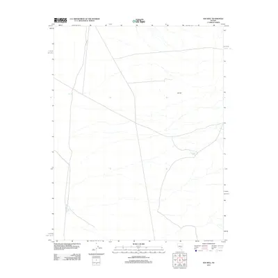
2012 Map of Eds Well
USGS Topo · Published 2012About this map
Eds Well stands as a primary landmark in this arid Nye County landscape, where the scarcity of water sources historically dictated the movement of livestock and travelers. This 2012 survey illustrates a terrain defined by subtle elevation changes and seasonal drainage patterns, with Eds Hill rising as a prominent topographic feature to the east. The presence of Red Bluff Spring further south emphasizes the critical reliance on isolated water points in this high desert environment. The map details a sparse network of local roads and tracks that connect these vital resources, providing a clear view of the area's contemporary land use and management. For those studying the geographic history of central Nevada, these specific named locations offer grounded points of reference within a vast and open interior.
Find a feature on this map
3 named features on this map. Tap any name to fly to it.
Don’t see what you’re looking for? This feature index may not catch every label — zoom into the map to look around manually.
Map Details
Editions of this 2012 Eds Well Map
This is the sole edition of this map. No revisions or reprints were ever made.
Other maps of this area
1908 · Kawich
USGS Topo · 1:250,000
1942 · Reveille Peak
USGS Topo · 1:125,000
1942 · Penoyer Valley
USGS Topo · 1:125,000
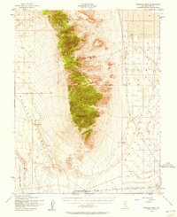
1952 · Reveille Peak
USGS Topo · 1:62,500

1954 · Caliente
USGS Topo · 1:250,000

1954 · Goldfield
USGS Topo · 1:250,000
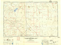
1955 · Goldfield
USGS Topo · 1:250,000

1956 · Lund
USGS Topo · 1:250,000

1956 · Tonopah
USGS Topo · 1:250,000
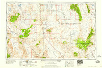
1958 · Goldfield
USGS Topo · 1:250,000