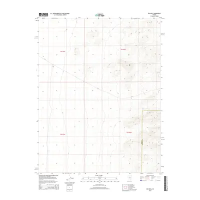
2014 Map of Eds Well
USGS Topo · Published 2014About this map
Eds Well and the surrounding high desert terrain of eastern Nye County are detailed in this 2014 survey. The landscape is defined by significant elevation changes, rising toward the summit of Eds Hill and descending toward the Nye and Lincoln County line. This arid region relies on scattered water sources, notably Red Bluff Spring, which marks a critical point of interest in a territory otherwise dominated by vast open sections and sparse infrastructure. The presence of NF-415 provides the primary transit corridor through these townships, cutting across the rugged topography. This map captures the intersection of several public land survey systems, including t3n r53e and t2n r54e, reflecting the enduring grid of the American West.
Find a feature on this map
9 named features on this map. Tap any name to fly to it.
Don’t see what you’re looking for? This feature index may not catch every label — zoom into the map to look around manually.
Map Details
Editions of this 2014 Eds Well Map
This is the sole edition of this map. No revisions or reprints were ever made.
Other maps of this area
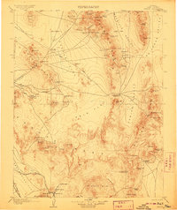
1908 · Kawich
USGS Topo · 1:250,000
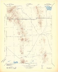
1942 · Reveille Peak
USGS Topo · 1:125,000
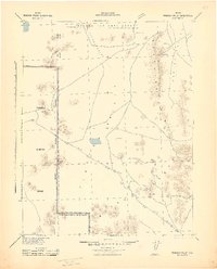
1942 · Penoyer Valley
USGS Topo · 1:125,000
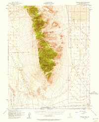
1952 · Reveille Peak
USGS Topo · 1:62,500

1954 · Caliente
USGS Topo · 1:250,000

1954 · Goldfield
USGS Topo · 1:250,000
1955 · Goldfield
USGS Topo · 1:250,000

1956 · Lund
USGS Topo · 1:250,000

1956 · Tonopah
USGS Topo · 1:250,000
1958 · Goldfield
USGS Topo · 1:250,000