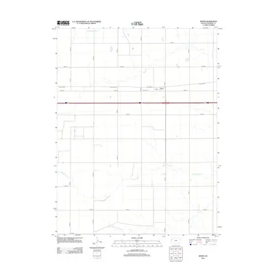
2012 Map of Edson
USGS Topo · Published 2012About this map
High Plains agriculture and the headwaters of the Sappa Creek system characterize this portion of Sherman County. The unincorporated community of Edson serves as the local anchor, centered near the Po and the historic route of Old US Hwy 24. This corridor, which historically carried travelers across the Kansas plains before the development of modern interstates, remains a primary artery for the region's farm-to-market network. To the north, the Edson Cem provides a genealogical touchstone for the area's pioneering families. The landscape is defined by the gentle drainage of the S Fork Sappa Cr and Middle Fork Sappa Cr, which carve subtle paths through a grid of section roads such as Road 27 and Road 65.
Find a feature on this map
19 named features on this map. Tap any name to fly to it.
Don’t see what you’re looking for? This feature index may not catch every label — zoom into the map to look around manually.
Map Details
Editions of this 2012 Edson Map
This is the sole edition of this map. No revisions or reprints were ever made.
Other maps of this area

1954 · Goodland
USGS Topo · 1:250,000

1956 · Goodland
USGS Topo · 1:250,000

1957 · Goodland
USGS Topo · 1:250,000

1959 · Harris Draw
USGS Topo · 1:62,500

1966 · Goodland NW
USGS Topo · 1:24,000

1966 · Goodland
USGS Topo · 1:24,000

1966 · Edson
USGS Topo · 1:24,000

1966 · Goodland NE
USGS Topo · 1:24,000

1966 · Brewster NW
USGS Topo · 1:24,000

1966 · Brewster
USGS Topo · 1:24,000