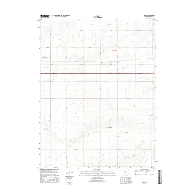
2015 Map of Edson
USGS Topo · Published 2015About this map
Edson serves as a central hub for this portion of the High Plains, where the grid of county section roads meets the major east-west transportation corridor. The settlement is anchored by the Edson Cem, providing a focal point for genealogical research in this rural pocket of Sherman County. The landscape is defined by the headwaters of the S Fork Sappa Cr, which meanders through the southern half of the map, creating a distinct drainage pattern against the otherwise rectilinear township and range system. This 2015 survey illustrates how traditional agriculture and modern infrastructure coexist, with family-named routes like Mosbarger Rd marking the enduring local history of the land.
Find a feature on this map
23 named features on this map. Tap any name to fly to it.
Don’t see what you’re looking for? This feature index may not catch every label — zoom into the map to look around manually.
Map Details
Editions of this 2015 Edson Map
This is the sole edition of this map. No revisions or reprints were ever made.
Other maps of this area

1954 · Goodland
USGS Topo · 1:250,000

1956 · Goodland
USGS Topo · 1:250,000

1957 · Goodland
USGS Topo · 1:250,000

1959 · Harris Draw
USGS Topo · 1:62,500

1966 · Goodland NW
USGS Topo · 1:24,000

1966 · Goodland
USGS Topo · 1:24,000

1966 · Edson
USGS Topo · 1:24,000

1966 · Goodland NE
USGS Topo · 1:24,000

1966 · Brewster NW
USGS Topo · 1:24,000

1966 · Brewster
USGS Topo · 1:24,000