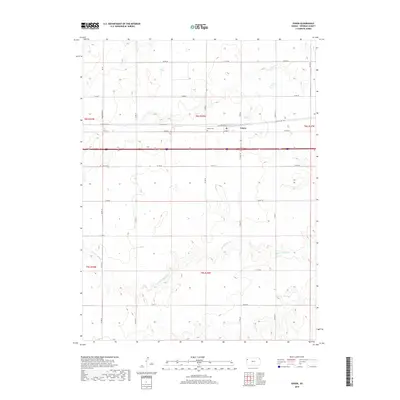
2018 Map of Edson
USGS Topo · Published 2018About this map
Edson anchors this portion of Sherman County, sitting atop the high plains where the agricultural grid meets the natural drainage of the S Fork Sappa Cr. The settlement is defined by its position along historical transit corridors, most notably the path of Old Us Hwy 24, which runs parallel to the modern interstate and serves as a reminder of the earlier automotive era in western Kansas. The surrounding landscape is dominated by a systematic network of section roads like Mosbarger Rd and Co Rd 66, which carve the prairie into precise townships. A significant local landmark for genealogists and historians is the Edison Cem, situated just west of the town center. This survey illustrates the enduring relationship between the region's high-altitude plains and the intermittent watercourses that have shaped land use and habitation for generations.
Find a feature on this map
25 named features on this map. Tap any name to fly to it.
Don’t see what you’re looking for? This feature index may not catch every label — zoom into the map to look around manually.
Map Details
Editions of this 2018 Edson Map
This is the sole edition of this map. No revisions or reprints were ever made.
Other maps of this area

1954 · Goodland
USGS Topo · 1:250,000

1956 · Goodland
USGS Topo · 1:250,000

1957 · Goodland
USGS Topo · 1:250,000
1959 · Harris Draw
USGS Topo · 1:62,500
1966 · Goodland NW
USGS Topo · 1:24,000
1966 · Goodland
USGS Topo · 1:24,000
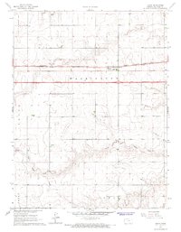
1966 · Edson
USGS Topo · 1:24,000
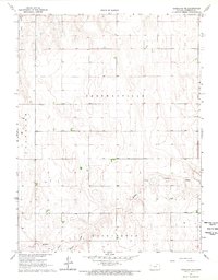
1966 · Goodland NE
USGS Topo · 1:24,000
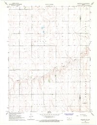
1966 · Brewster NW
USGS Topo · 1:24,000
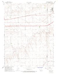
1966 · Brewster
USGS Topo · 1:24,000