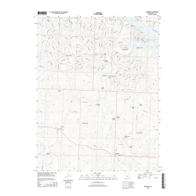
2014 Map of Edwards
USGS Topo · Published 2014About this map
Hastain and the surrounding southern reaches of the Lake of the Ozarks define this corner of Benton County. The landscape is deeply incised by a network of seasonal and permanent watercourses, including Deer Cr and Little Deer Cr, which flow through numerous named hollows such as Wolf Branch Hollow and Buckley Hollow. The settlement of Edwards sits at the southern edge of the sheet, connected by a network of local roads to agricultural and residential pockets.
Find a feature on this map
155 named features on this map. Tap any name to fly to it.
Don’t see what you’re looking for? This feature index may not catch every label — zoom into the map to look around manually.
Map Details
Editions of this 2014 Edwards Map
This is the sole edition of this map. No revisions or reprints were ever made.
Other maps of this area
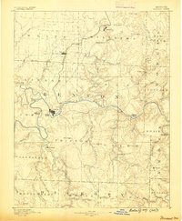
1887 · Warsaw
USGS Topo · 1:125,000
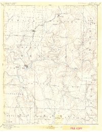
1894 · Warsaw
USGS Topo · 1:125,000
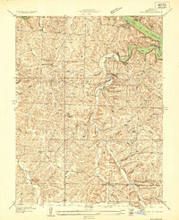
1935 · Edwards
USGS Topo · 1:24,000
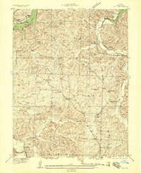
1935 · Dell
USGS Topo · 1:24,000
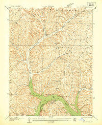
1935 · Boylers Mill
USGS Topo · 1:24,000
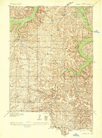
1935 · Knobby Creek
USGS Topo · 1:24,000
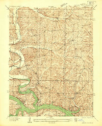
1936 · Lakeview Heights
USGS Topo · 1:24,000
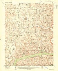
1936 · Schuyler
USGS Topo · 1:24,000
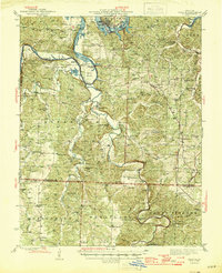
1945 · Fristoe
USGS Topo · 1:62,500
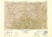
1947 · Jefferson City
USGS Topo · 1:250,000