
1945 Map of Fristoe
USGS Topo · Published 1945About this map
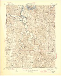
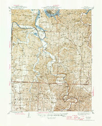
The Osage River and Lake of the Ozarks dominate the northern terrain of this 1945 survey, where the river's winding course creates the dramatic horseshoe of Peal Bend. This rural landscape in Benton and Hickory Counties is defined by a dense network of upland ridges and creek hollows, including Gist Ridge and Tick Ridge, which dictated the placement of small agricultural settlements and timber tracts. The area is exceptionally well-documented for genealogists, featuring numerous family-named landmarks and rural institutions like the Blackwell Cem, Wisdom Cem, and the Evening Shade Sch. Along the Little Niangua River and Pomme de Terre River, the map records several river crossings such as Phillips Ford and the Little Mill Creek Ford, alongside industrial sites like Gabriel Mills and the Sedgwick Mine.
Find a feature on this map
104 named features on this map. Tap any name to fly to it.
Don’t see what you’re looking for? This feature index may not catch every label — zoom into the map to look around manually.
Map Details
Editions of this 1945 Fristoe Map
3 editions found
Other maps of this area

1884 · Bolivar
USGS Topo · 1:125,000

1886 · Stockton
USGS Topo · 1:125,000

1887 · Clinton
USGS Topo · 1:125,000

1887 · Warsaw
USGS Topo · 1:125,000

1892 · Bolivar
USGS Topo · 1:125,000

1894 · Warsaw
USGS Topo · 1:125,000

1894 · Clinton
USGS Topo · 1:125,000

1935 · Edwards
USGS Topo · 1:24,000

1935 · Dell
USGS Topo · 1:24,000

1936 · Shawnee Bend
USGS Topo · 1:24,000