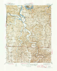
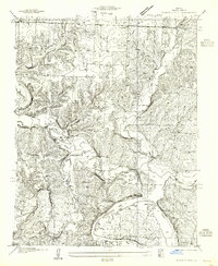
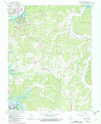
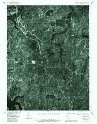
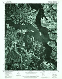
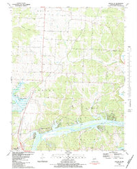
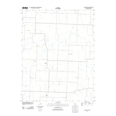
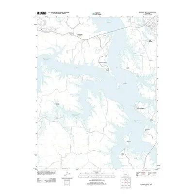
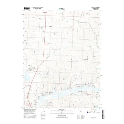
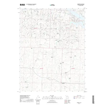
1945 Map of Fristoe
USGS Topo · Published 1945About this map
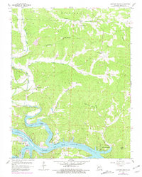
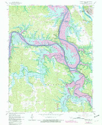
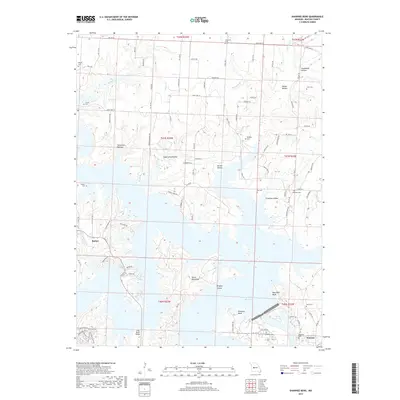
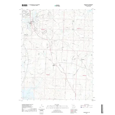
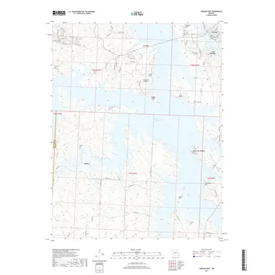
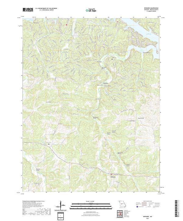
Warsaw sits at the northern edge of this Ozark plateau landscape where the Osage River and the Pomme De Terre River feed into the expansive Lake of the Ozarks. This 1945 record documents the region after the completion of the Bagnell Dam, showing the intricate shoreline and the series of bridges and fords, such as Bailey Bridge and Round Bottom Ford, that maintained connectivity between isolated rural townships.
Find a feature on this map
106 named features on this map. Tap any name to fly to it.
Don’t see what you’re looking for? This feature index may not catch every label — zoom into the map to look around manually.
Map Details
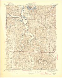
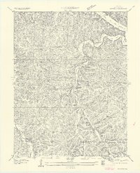
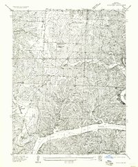
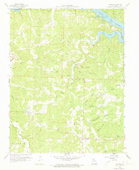
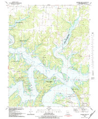
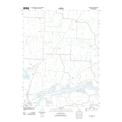
Editions of this 1945 Fristoe Map
3 editions found

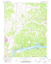
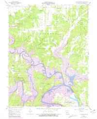
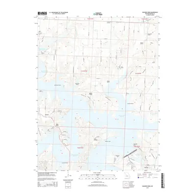
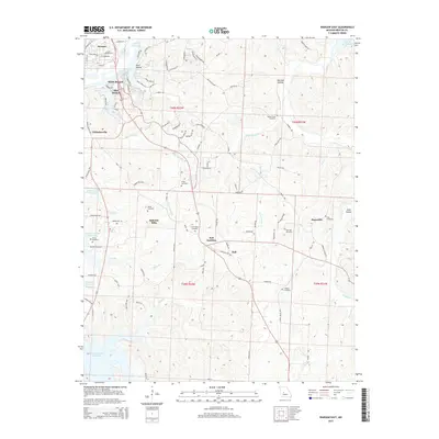
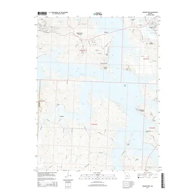
Historical Maps of Warsaw Through Time
53 maps found

1935 Dell
Benton County, MO

1935 Edwards
Benton County, MO
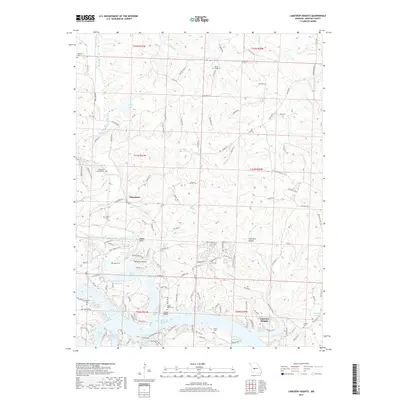
1936 Lakeview Heights
Benton County, MO
1936 Schuyler
Benton County, MO

1936 Shawnee Bend
Benton County, MO
1945 Fristoe
Benton County, MO
1955 Shawnee Bend
Benton County, MO
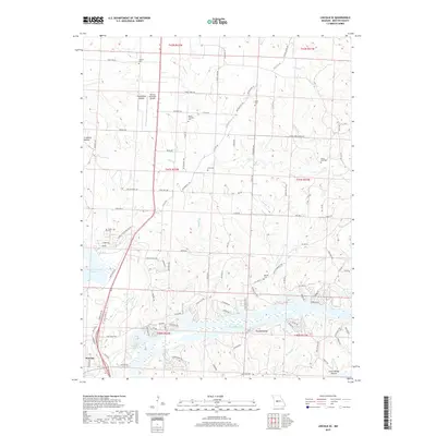
1957 Edwards
Benton County, MO
1957 Schuyler
Benton County, MO
1959 Edwards
Benton County, MO
1959 Lakeview Heights
Benton County, MO
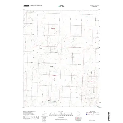
1959 Lincoln SE
Benton County, MO
1959 Shawnee Bend
Benton County, MO
1961 Lincoln NW
Benton County, MO
1964 Warsaw East
Benton County, MO
1965 Warsaw West
Benton County, MO
1980 Lincoln SE
Benton County, MO
1980 Shawnee Bend
Benton County, MO
1980 Warsaw East
Benton County, MO
1980 Warsaw West
Benton County, MO
1983 Edwards
Benton County, MO

1983 Harry S Truman Reservoir
Benton County, MO
1983 Lakeview Heights
Benton County, MO
1983 Lincoln SE
Benton County, MO
1983 Shawnee Bend
Benton County, MO
2011 Edwards
Benton County, MO
2011 Lakeview Heights
Benton County, MO
2011 Lincoln NW
Benton County, MO
2011 Lincoln SE
Benton County, MO
2011 Shawnee Bend
Benton County, MO
2011 Warsaw East
Benton County, MO
2011 Warsaw West
Benton County, MO
2014 Edwards
Benton County, MO
2014 Lakeview Heights
Benton County, MO
2014 Lincoln NW
Benton County, MO
2014 Lincoln SE
Benton County, MO
2014 Shawnee Bend
Benton County, MO
2015 Warsaw East
Benton County, MO
2015 Warsaw West
Benton County, MO
2017 Edwards
Benton County, MO
2017 Lakeview Heights
Benton County, MO
2017 Lincoln NW
Benton County, MO
2017 Lincoln SE
Benton County, MO
2017 Shawnee Bend
Benton County, MO
2017 Warsaw East
Benton County, MO
2017 Warsaw West
Benton County, MO
2021 Edwards
Benton County, MO
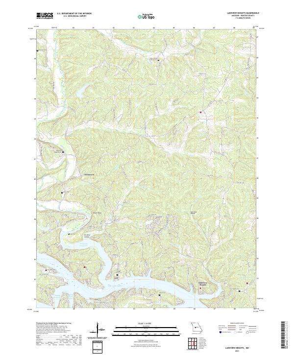
2021 Lakeview Heights
Benton County, MO
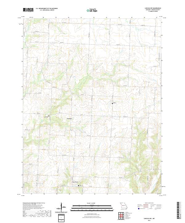
2021 Lincoln NW
Benton County, MO
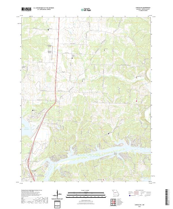
2021 Lincoln SE
Benton County, MO
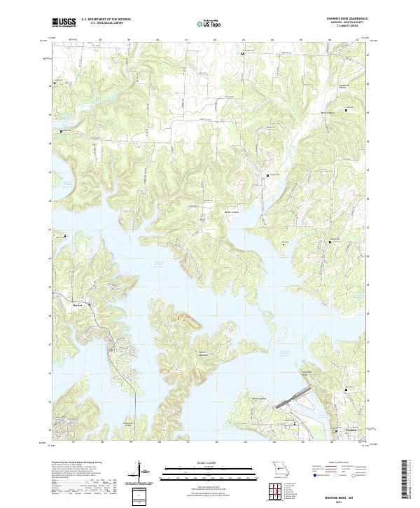
2021 Shawnee Bend
Benton County, MO
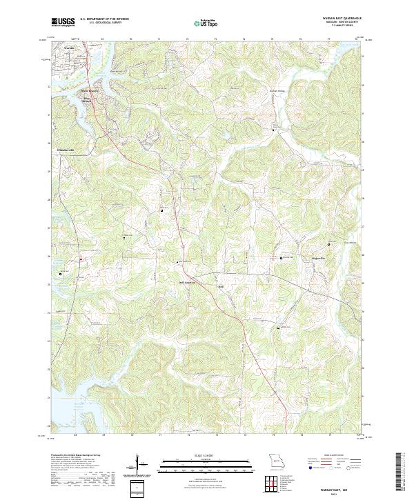
2021 Warsaw East
Benton County, MO
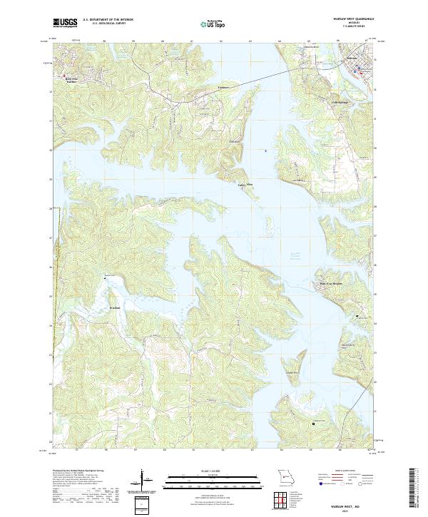
2021 Warsaw West
Benton County, MO