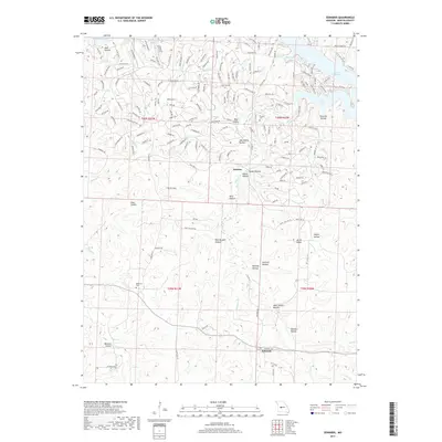
2017 Map of Edwards
USGS Topo · Published 2017About this map
Edwards and Hastain anchor this part of Benton County, where the southern reaches of the Lake of the Ozarks meet a complex network of hollows and ridges. The landscape is defined by the winding paths of Turkey Cr, Deer Cr, and Little Deer Cr, which carve through the terrain before emptying into the major lake inlets of Duroc Bay and Turkey Creek Cove. This region's history is etched into the names of its landforms, such as Miller Ridge and Sawmill Hollow, hinting at the legacy of local timbering and homesteading.
Find a feature on this map
205 named features on this map. Tap any name to fly to it.
Don’t see what you’re looking for? This feature index may not catch every label — zoom into the map to look around manually.
Map Details
Editions of this 2017 Edwards Map
This is the sole edition of this map. No revisions or reprints were ever made.
Other maps of this area
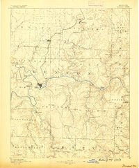
1887 · Warsaw
USGS Topo · 1:125,000
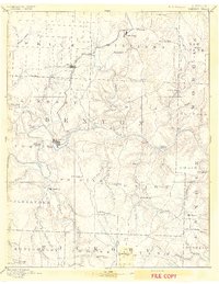
1894 · Warsaw
USGS Topo · 1:125,000
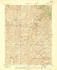
1935 · Edwards
USGS Topo · 1:24,000
1935 · Dell
USGS Topo · 1:24,000
1935 · Boylers Mill
USGS Topo · 1:24,000
1935 · Knobby Creek
USGS Topo · 1:24,000
1936 · Lakeview Heights
USGS Topo · 1:24,000
1936 · Schuyler
USGS Topo · 1:24,000
1945 · Fristoe
USGS Topo · 1:62,500
1947 · Jefferson City
USGS Topo · 1:250,000