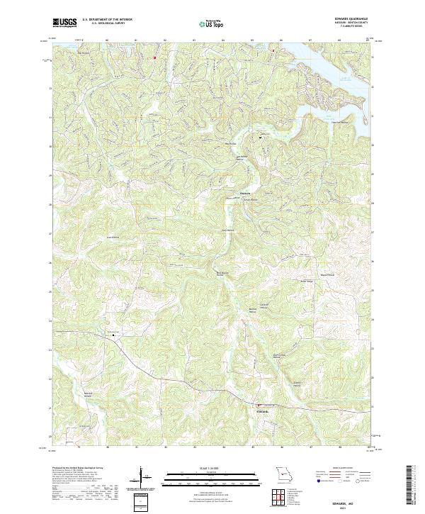
2021 Map of Edwards
USGS Topo · Published 2021About this map
Hastain and Edwards anchor this portion of Benton County, where the Ozark Plateau descends toward the irregular northern shoreline of the Lake of the Ozarks. This landscape is defined by its intricate drainage patterns, with numerous hollows and ridges radiating from the Deer Creek Arm and Duroc Bay. Named terrain features such as Short School Hollow and Sawmill Hollow indicate a history of local industry and rural education. The presence of Hastain Cem and Belleview Cem provides essential points of reference for genealogists researching family ties in this part of Missouri. Watercourses like Little Deer Cr and Spring Br carve through the topography, illustrating the natural geography that has shaped local settlement and road placement for generations.
Find a feature on this map
163 named features on this map. Tap any name to fly to it.
Don’t see what you’re looking for? This feature index may not catch every label — zoom into the map to look around manually.
Map Details
Editions of this 2021 Edwards Map
This is the sole edition of this map. No revisions or reprints were ever made.
Other maps of this area

1887 · Warsaw
USGS Topo · 1:125,000

1894 · Warsaw
USGS Topo · 1:125,000

1935 · Edwards
USGS Topo · 1:24,000

1935 · Dell
USGS Topo · 1:24,000

1935 · Boylers Mill
USGS Topo · 1:24,000

1935 · Knobby Creek
USGS Topo · 1:24,000

1936 · Lakeview Heights
USGS Topo · 1:24,000

1936 · Schuyler
USGS Topo · 1:24,000

1945 · Fristoe
USGS Topo · 1:62,500

1947 · Jefferson City
USGS Topo · 1:250,000