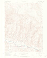
1962 Map of Edwards
USGS Topo · Published 1969About this map
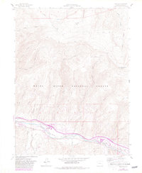
The Eagle River corridor serves as the primary artery for settlement and transit through this portion of Eagle County, dominated by the presence of the Denver and Rio Grande Western railroad. This early 1960s survey documents the rural character of Edwards and Avon before their later development into major resort hubs. The landscape is defined by the steep transition from the river valley up toward Red and White Mountain and the expansive White River National Forest.
Find a feature on this map
38 named features on this map. Tap any name to fly to it.
Don’t see what you’re looking for? This feature index may not catch every label — zoom into the map to look around manually.
Map Details
Editions of this 1962 Edwards Map
8 editions found

Other maps of this area

1933 · Mt. Powell
USGS Topo · 1:48,000

1934 · Minturn
USGS Topo · 1:62,500

1940 · Mount Powell
USGS Topo · 1:62,500

1950 · Minturn
USGS Topo · 1:62,500

1957 · Leadville
USGS Topo · 1:250,000

1959 · Leadville
USGS Topo · 1:250,000

1960 · Leadville
USGS Topo · 1:250,000

1962 · Leadville
USGS Topo · 1:250,000

1962 · Grouse Mountain
USGS Topo · 1:24,000

1962 · Fulford
USGS Topo · 1:24,000