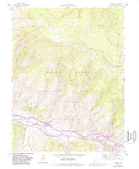
1962 Map of Edwards
USGS Topo · Published 1988About this map
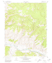
Eagle River carves through the heart of this mid-century Colorado landscape, serving as the primary corridor for transportation and water management. Along its banks, the settlement of Edwards appears as a small mountain community anchored by Edwards Siding and proximity to the White River National Forest. The map documents an intricate network of irrigation canals essential to high-country agriculture, including the Brett Ditch, Metcalf Ditch, and the Terrell and Ford Ditch.
Find a feature on this map
46 named features on this map. Tap any name to fly to it.
Don’t see what you’re looking for? This feature index may not catch every label — zoom into the map to look around manually.
Map Details
Editions of this 1962 Edwards Map
8 editions found

Other maps of this area

1933 · Mt. Powell
USGS Topo · 1:48,000

1934 · Minturn
USGS Topo · 1:62,500

1940 · Mount Powell
USGS Topo · 1:62,500

1950 · Minturn
USGS Topo · 1:62,500

1957 · Leadville
USGS Topo · 1:250,000

1959 · Leadville
USGS Topo · 1:250,000

1960 · Leadville
USGS Topo · 1:250,000

1962 · Leadville
USGS Topo · 1:250,000

1962 · Grouse Mountain
USGS Topo · 1:24,000

1962 · Fulford
USGS Topo · 1:24,000