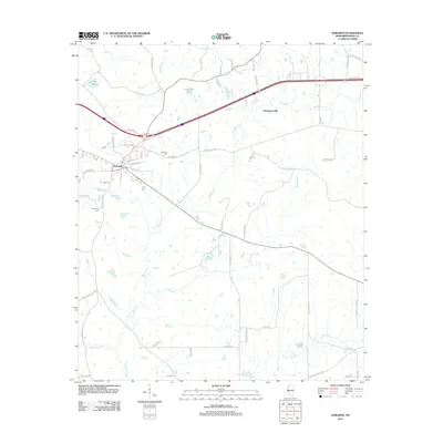
2012 Map of Edwards
USGS Topo · Published 2012About this map
The town of Edwards serves as a central hub for this portion of Hinds County, where a network of rural roads such as Askew Ferry Rd and Champion Hill Rd branch out through the local terrain. The area is defined by its numerous watercourses, including the winding Bakers Creek and Fourteenmile Creek, which drainage patterns suggest the undulating nature of the Mississippi landscape. Historic landmarks like the Edwards Cem and Friendship Cem provide significant points of interest for genealogists tracing local family roots in the vicinity of Champion Hill. The map also reveals several named bodies of water such as Lake Adanac and Dowing Pond, alongside smaller tributaries like Shiloh Creek and Turkey Creek, reflecting a region tied closely to its natural hydrology and agricultural layout in the early twenty-first century.
Find a feature on this map
66 named features on this map. Tap any name to fly to it.
Don’t see what you’re looking for? This feature index may not catch every label — zoom into the map to look around manually.
Map Details
Editions of this 2012 Edwards Map
This is the sole edition of this map. No revisions or reprints were ever made.
Other maps of this area

1903 · Jackson
USGS Topo · 1:125,000

1934 · Raymond
USGS Topo · 1:48,000

1937 · Raymond
USGS Topo · 1:62,500

1937 · Terry
USGS Topo · 1:48,000

1938 · Edwards
USGS Topo · 1:62,500

1942 · Raymond
USGS Topo · 1:62,500

1943 · Terry
USGS Topo · 1:62,500

1955 · Jackson
USGS Topo · 1:250,000

1961 · Jackson
USGS Topo · 1:250,000

1962 · Jackson
USGS Topo · 1:250,000