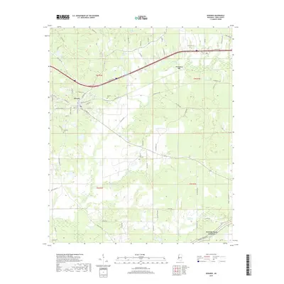
2018 Map of Edwards
USGS Topo · Published 2018About this map
The town of Edwards serves as the central hub of this Hinds County landscape, situated near the western edge where the drainage of Bakers Cr and Fourteenmile Cr shapes the terrain. Historically significant for its connection to local conflicts, the area near Champion Hill remains a prominent landmark in the east. The map detail highlights a network of rural roads with evocative local names such as Askew Ferry Rd, Potato House Rd, and Mount Moriah Rd, which link scattered residences to the town center.
Find a feature on this map
72 named features on this map. Tap any name to fly to it.
Don’t see what you’re looking for? This feature index may not catch every label — zoom into the map to look around manually.
Map Details
Editions of this 2018 Edwards Map
This is the sole edition of this map. No revisions or reprints were ever made.
Other maps of this area
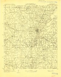
1903 · Jackson
USGS Topo · 1:125,000
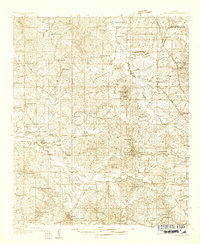
1934 · Raymond
USGS Topo · 1:48,000
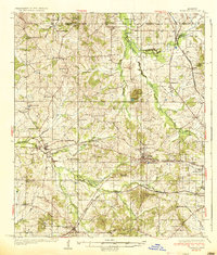
1937 · Raymond
USGS Topo · 1:62,500
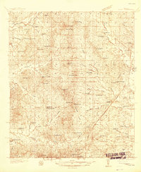
1937 · Terry
USGS Topo · 1:48,000
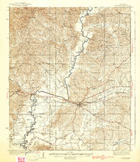
1938 · Edwards
USGS Topo · 1:62,500
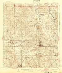
1942 · Raymond
USGS Topo · 1:62,500
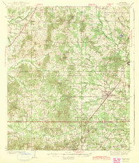
1943 · Terry
USGS Topo · 1:62,500

1955 · Jackson
USGS Topo · 1:250,000

1961 · Jackson
USGS Topo · 1:250,000
1962 · Jackson
USGS Topo · 1:250,000