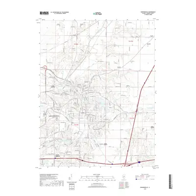
2018 Map of Edwardsville
USGS Topo · Published 2018About this map
Edwardsville and Glen Carbon serve as the primary hubs in this Madison County corridor, where urban development meets the established rural landscape of the American Bottoms. The survey captures the sprawling campus of Southern Illinois Univ Edwardsville and the varied residential growth surrounding Dunlap Lake and Leclaire Lake. Local history is deeply etched into the land through numerous small family and church burial grounds, including Saint Boniface Catholic Cem, Lusk Family Cem, and Quercus Grove Cem. The map illustrates a transition from the dense street grids of the historic town centers to the suburban subdivisions and industrial outposts like Mont Station and Kuhn Station. Natural drainage is dominated by the winding paths of Cahokia Creek and its tributaries, which have historically shaped the settlement patterns and transport routes of this Illinois region.
Find a feature on this map
226 named features on this map. Tap any name to fly to it.
Don’t see what you’re looking for? This feature index may not catch every label — zoom into the map to look around manually.
Map Details
Editions of this 2018 Edwardsville Map
This is the sole edition of this map. No revisions or reprints were ever made.
Other maps of this area

1888 · St. Louis
USGS Topo · 1:62,500

1907 · Belleville
USGS Topo · 1:62,500

1927 · Alton
USGS Topo · 1:62,500

1927 · Edwardsville
USGS Topo · 1:62,500

1932 · Edwardsville
USGS Topo · 1:62,500

1934 · Alton
USGS Topo · 1:62,500

1935 · Monks Mound
USGS Topo · 1:24,000

1937 · Collinsville
USGS Topo · 1:24,000

1948 · Wood River
USGS Topo · 1:24,000

1949 · Saint Louis
USGS Topo · 1:250,000