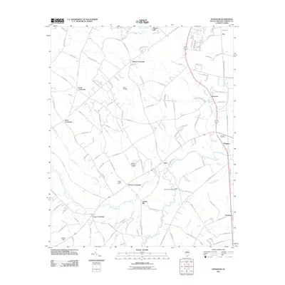
2011 Map of Effingham
USGS Topo · Published 2011About this map
Lynches River winds through this Florence County landscape, serving as a primary corridor for the scattered communities that define the area. The settlement pattern here is anchored by numerous historical intersections, including Perkins Crossroads, Peniel Crossroads, and Cusac Crossroads, reflecting a rural economy built on road networks and river access. The town of Effingham is marked by its Post Office and proximity to Carter Creek, while Lynches Mill points to the area's agricultural and industrial heritage along the water.
Find a feature on this map
133 named features on this map. Tap any name to fly to it.
Don’t see what you’re looking for? This feature index may not catch every label — zoom into the map to look around manually.
Map Details
Editions of this 2011 Effingham Map
This is the sole edition of this map. No revisions or reprints were ever made.
Other maps of this area

1940 · Florence West
USGS Topo · 1:62,500

1940 · Florence East
USGS Topo · 1:62,500

1945 · Florence East
USGS Topo · 1:62,500

1945 · Florence West
USGS Topo · 1:62,500

1946 · Hyman
USGS Topo · 1:62,500

1946 · Lake City
USGS Topo · 1:62,500

1949 · Georgetown
USGS Topo · 1:250,000

1953 · Florence
USGS Topo · 1:250,000

1954 · Florence
USGS Topo · 1:250,000

1967 · Georgetown
USGS Topo · 1:250,000