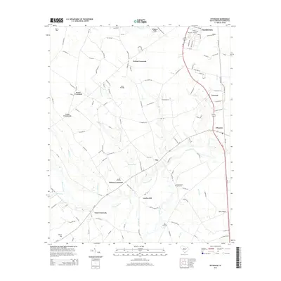
2014 Map of Effingham
USGS Topo · Published 2014About this map
Lynches Mill and the expansive Lynches River corridor define this South Carolina landscape south of Florence. The terrain is characterized by a high density of crossroads communities and distinct Carolina bays, including Morris Bay, Sand Hill Bay, and Whites Bay, which interrupt the agricultural grid. These geographic features, along with names like Blackwell Pond, reflect the low-lying, water-rich nature of the Pee Dee region.
Find a feature on this map
111 named features on this map. Tap any name to fly to it.
Don’t see what you’re looking for? This feature index may not catch every label — zoom into the map to look around manually.
Map Details
Editions of this 2014 Effingham Map
This is the sole edition of this map. No revisions or reprints were ever made.
Other maps of this area
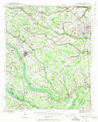
1940 · Florence West
USGS Topo · 1:62,500
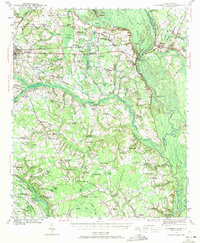
1940 · Florence East
USGS Topo · 1:62,500
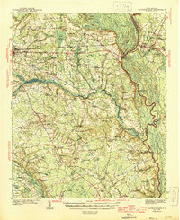
1945 · Florence East
USGS Topo · 1:62,500
1945 · Florence West
USGS Topo · 1:62,500
1946 · Hyman
USGS Topo · 1:62,500
1946 · Lake City
USGS Topo · 1:62,500
1949 · Georgetown
USGS Topo · 1:250,000
1953 · Florence
USGS Topo · 1:250,000
1954 · Florence
USGS Topo · 1:250,000
1967 · Georgetown
USGS Topo · 1:250,000