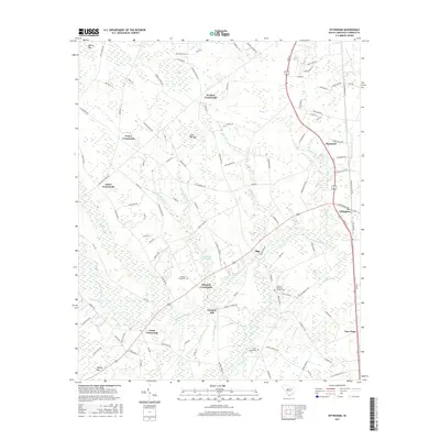
2017 Map of Effingham
USGS Topo · Published 2017About this map
Lynches River and its dense network of tributaries, including Sparrow Swamp and Polecat Br, define the geography of this Florence County landscape. The settlement pattern is characterized by numerous historic intersections such as Perkins Crossroads, Johnson Crossroads, and Jones Crossroads, which served as local hubs for the surrounding agricultural community. Significant for genealogists, the map identifies several local burial sites including Meadow Prong Cem, Mossy Grove Cem, and Lynchs Memorial Gardens Cem. The presence of Lynches Mill near the river indicates the area's long-standing connection to water-based industry and milling. Notable geological depressions known as Carolina Bays are frequent here, labeled as Tans Bay, Morris Bay, and Sand Hill Bay, creating a unique wetlands mosaic across the coastal plain.
Find a feature on this map
122 named features on this map. Tap any name to fly to it.
Don’t see what you’re looking for? This feature index may not catch every label — zoom into the map to look around manually.
Map Details
Editions of this 2017 Effingham Map
This is the sole edition of this map. No revisions or reprints were ever made.
Other maps of this area
1940 · Florence West
USGS Topo · 1:62,500
1940 · Florence East
USGS Topo · 1:62,500
1945 · Florence East
USGS Topo · 1:62,500
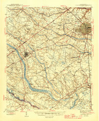
1945 · Florence West
USGS Topo · 1:62,500
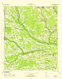
1946 · Hyman
USGS Topo · 1:62,500
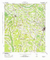
1946 · Lake City
USGS Topo · 1:62,500
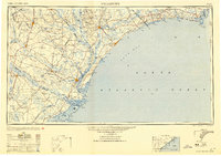
1949 · Georgetown
USGS Topo · 1:250,000
1953 · Florence
USGS Topo · 1:250,000
1954 · Florence
USGS Topo · 1:250,000
1967 · Georgetown
USGS Topo · 1:250,000