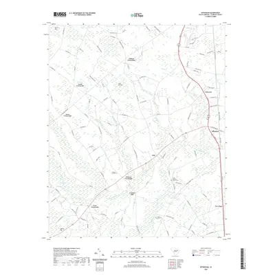
2020 Map of Effingham
USGS Topo · Published 2020About this map
The Lynches River corridor defines the landscape of this Florence County region, where the winding waterway is joined by numerous tributaries including Sparrow Swamp and Lake Swamp. The settlement pattern is characterized by a high density of rural junctions known as "crossroads," which served as local landmarks and hubs for the surrounding farming community. Notable examples include Peniel Crossroads, Perkins Crossroads, and Cusac Crossroads.
Find a feature on this map
114 named features on this map. Tap any name to fly to it.
Don’t see what you’re looking for? This feature index may not catch every label — zoom into the map to look around manually.
Map Details
Editions of this 2020 Effingham Map
This is the sole edition of this map. No revisions or reprints were ever made.
Other maps of this area

1940 · Florence West
USGS Topo · 1:62,500

1940 · Florence East
USGS Topo · 1:62,500

1945 · Florence East
USGS Topo · 1:62,500

1945 · Florence West
USGS Topo · 1:62,500

1946 · Hyman
USGS Topo · 1:62,500

1946 · Lake City
USGS Topo · 1:62,500

1949 · Georgetown
USGS Topo · 1:250,000

1953 · Florence
USGS Topo · 1:250,000

1954 · Florence
USGS Topo · 1:250,000

1967 · Georgetown
USGS Topo · 1:250,000